Mia Lange · 2 September 2026
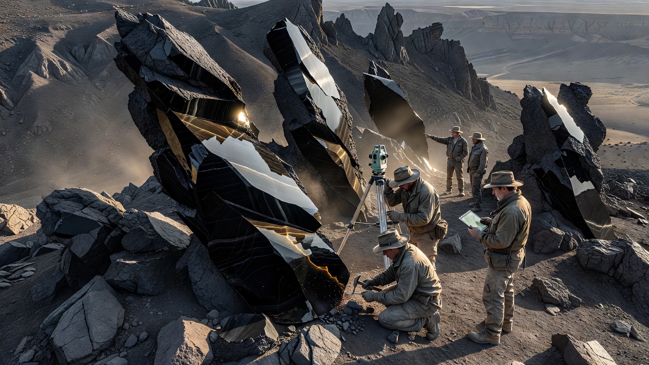
A recent geological survey conducted across Onyx Ridge has identified several previously undocumented rock formations. Researchers from the regional geological institute completed fieldwork over six weeks, mapping outcrops and analyzing core samples from multiple sites along the ridge line.
Key Discoveries in Rock Structures
The survey team documented extensive layers of banded onyx interspersed with quartz veins that exhibit unusual crystalline patterns. These formations appear to result from hydrothermal activity dating back approximately 12 million years. Core samples revealed mineral compositions including chalcedony and trace amounts of manganese oxide, which contribute to the distinctive dark banding. Elevation data showed these structures concentrated between 1,800 and 2,200 meters, where fault lines intersect ancient sedimentary beds. Initial chemical assays indicated higher silica content than surrounding areas, suggesting localized volcanic influence during formation. Field measurements recorded vein widths averaging 18 centimeters, with some extending over 40 meters in length.
Additional findings included small clusters of columnar basalt exposed by recent erosion. These columns display hexagonal cross-sections measuring up to 1.2 meters across. Soil samples collected nearby contained elevated levels of iron and magnesium, consistent with the basalt origin. The team used drone-based LiDAR to create three-dimensional models of the outcrops, confirming their continuity beneath surface debris. No evidence of active seismic movement was detected during the study period.
Regional Significance and Next Steps
These discoveries provide new context for understanding the tectonic history of the Onyx Ridge area. The mineral assemblages may offer insights into past groundwater flows and potential resource distribution. Local hydrology could be influenced by the permeability of the newly mapped veins, affecting spring discharge rates observed downslope. Researchers plan follow-up visits to install monitoring equipment for long-term data collection on weathering rates and microfracture development.
Further laboratory analysis will focus on isotopic dating to refine the timeline of formation events. Collaboration with academic partners is underway to integrate the findings into broader regional geological maps. Public access to the survey data will be provided through the institute's online repository once processing concludes. The results underscore the value of continued systematic exploration in rugged terrain where surface features remain incompletely documented.